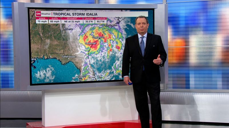
Hurricane Idalia has left its mark on history, proving to be a once-in-a-lifetime storm for parts of Florida.
Idalia made landfall as a Category 3 hurricane with sustained wind speeds of 125 mph Wednesday morning in Florida’s Big Bend region – where the panhandle meets the peninsula – near Keaton Beach.
Follow live updates: Idalia spreading damage across the Southeast
Idalia’s journey since it first formed in the Caribbean Sea over the weekend has been anything but ordinary. Here are some of its most notable superlatives:
Strongest in more than 125 years
With maximum winds of 125 mph, Idalia was the strongest hurricane to make landfall in Florida’s Big Bend region in more than 125 years.
The last storm of Idalia’s strength to slam the region was an unnamed Category 3 hurricane in 1896. The unnamed hurricane also had sustained winds of 125 mph at landfall.
Idalia was the first major hurricane – Category 3 or stronger – on record to track through Florida’s Apalachee Bay, a northern inlet in the Big Bend.
Record-breaking, life-threatening storm surge
Idalia’s storm surge was record-breaking from Tampa to the Big Bend.
More than 8 feet of storm surge sent water levels in Cedar Key, Florida, to 6.8 feet above their highest normal tides on Wednesday morning. This shattered the previous high water level of 5.99 feet from Hurricane Hermine in 2016.
In Tampa Bay, water levels surpassed 4.5 feet on Wednesday morning, exceeding the previous high water mark of 3.79 feet from Tropical Storm Eta in 2020.
Clearwater Beach also set a new record-high water level at 4.05 feet, surpassing the previous record of 4.02 feet from the 1993 Storm of the Century.
Storm surge rushing through the Steinhatchee River in Steinhatchee, Florida, also caused water levels there to rise 9 feet in two hours and hit record levels there.
Rare warnings were issued
The National Weather Service in Tallahassee issued two extreme wind warnings on Wednesday morning as the strongest winds from Idalia came ashore. These types of warnings are only issued when sustained winds of 115 mph or greater are expected in an area.
Until Wednesday, only 27 extreme wind warnings had ever been issued in the continental US. The majority of these warnings have been issued in Florida.
Rapid intensification
Hurricane Idalia went through a period of rapid intensification Tuesday evening into Wednesday morning as it tracked over the exceptionally warm water of the Gulf of Mexico.
Scientists have been alarmed at how warm ocean temperatures have been this year, including in the Gulf if Mexico and around southern Florida, where sea surface temperature climbed to around 100 degrees Fahrenheit earlier this summer.
Average sea surface temperature in Idalia’s path was recently measured at nearly 88 degrees Fahrenheit — a record there since data began in the early 1980s.
With an enormous pool of warm-water energy to draw from, the hurricane’s sustained winds increased a staggering 55 mph over the course of 24 hours. Rapid intensification is defined as an increase of at least 35 mph within a 24 hour period.
Idalia was a Category 1 hurricane with 75 mph sustained winds early Tuesday morning. By early Wednesday, it was a monstrous Category 4 with sustained winds of 130 mph.

